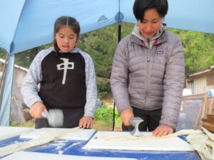
Using drones to map changes in the environment and to wild life, Nathan Vadeboncoeur of Smart Shores is able to fly a site and have high-resolution and elevations of an area—ultimately leading to more affordable mapping for communities and habitats.

Related posts

Managing in all directions
October 29, 2020
MORI: New partnership mobilizes marine scientists for research at sea
September 24, 2021
Kim-Ly Thompson’s commitment to community
September 25, 2020